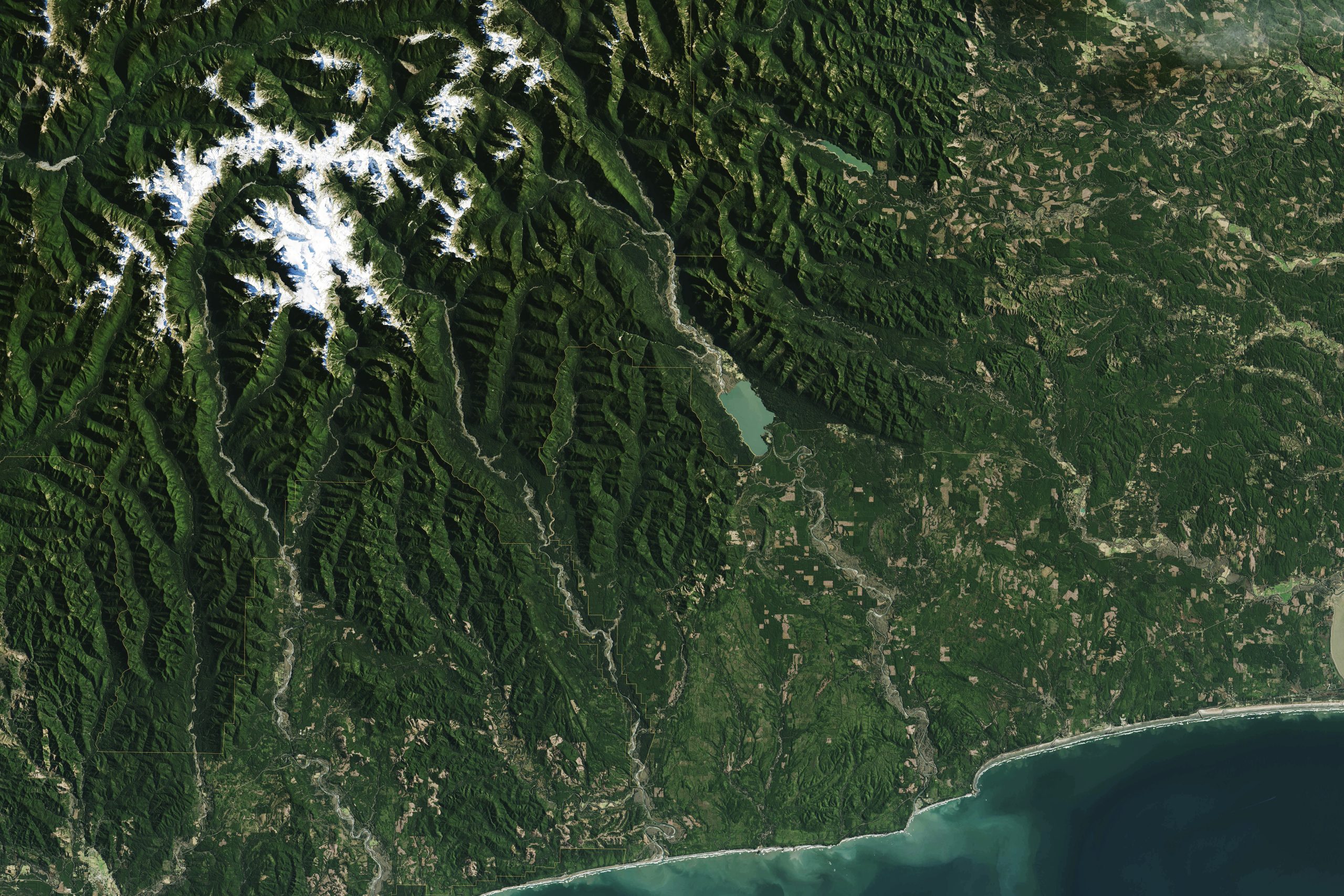
GIS (Geographic Information Systems) and remote sensing have become essential tools for efficient mineral exploration. They allow experts to map large and often inaccessible areas without physical surveys, drastically cutting down time and cost. Satellite and aerial imagery offer high-resolution data on geological structures, vegetation patterns, and terrain anomalies that may indicate mineral deposits.
When combined with historical data and field surveys, GIS provides a comprehensive view of the landscape, enabling better targeting of exploration zones. Remote sensing also aids in environmental monitoring and compliance. With these technologies, mining companies can make data-driven decisions, reduce the environmental impact of their operations, and plan exploration activities with greater accuracy and efficiency.